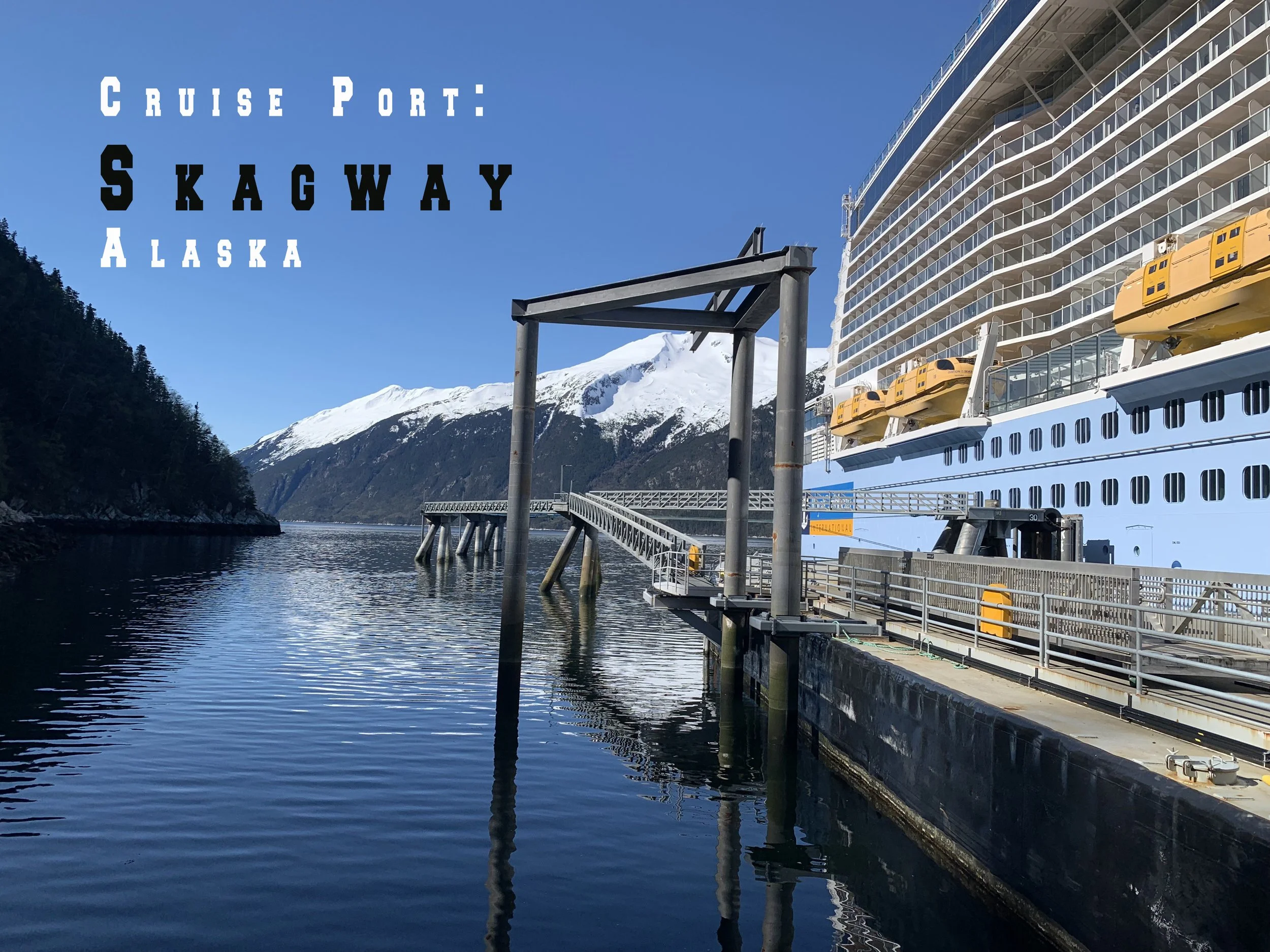
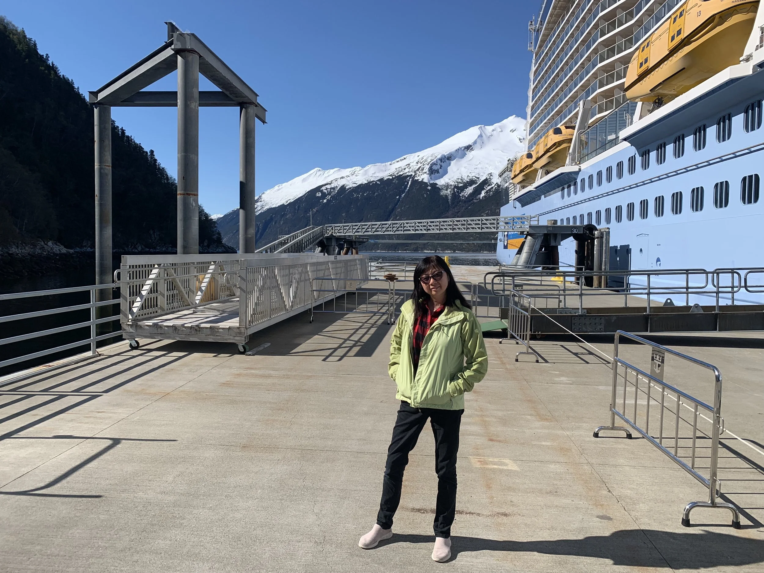
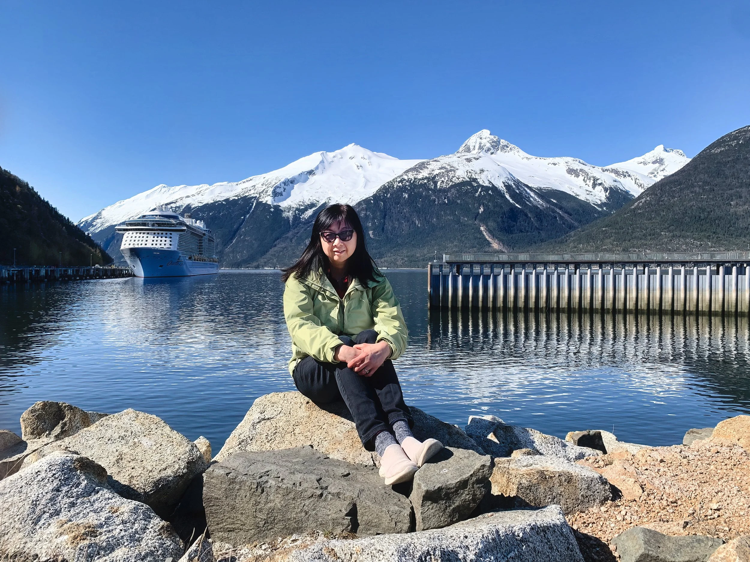
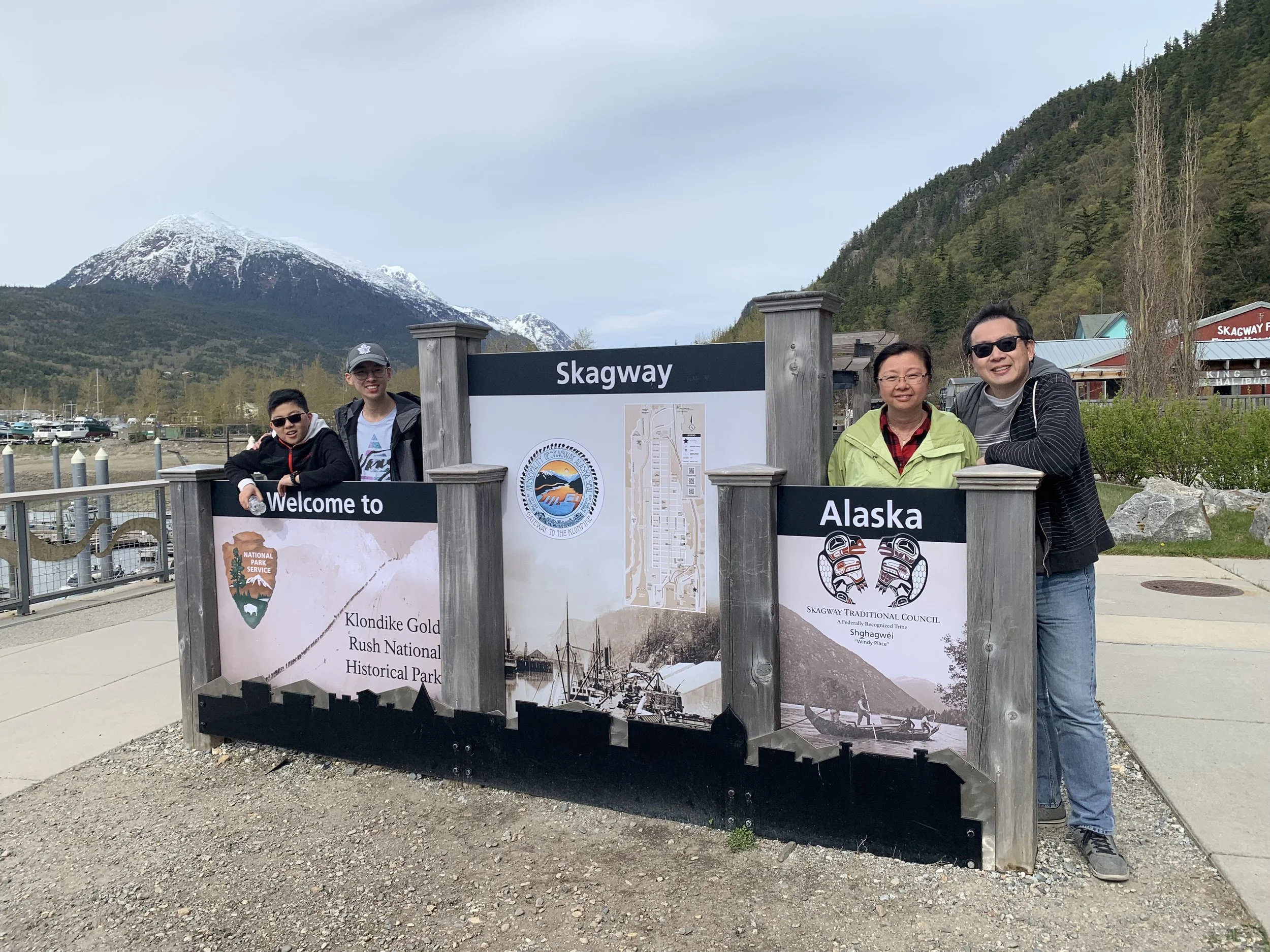
Skagway, Alaska
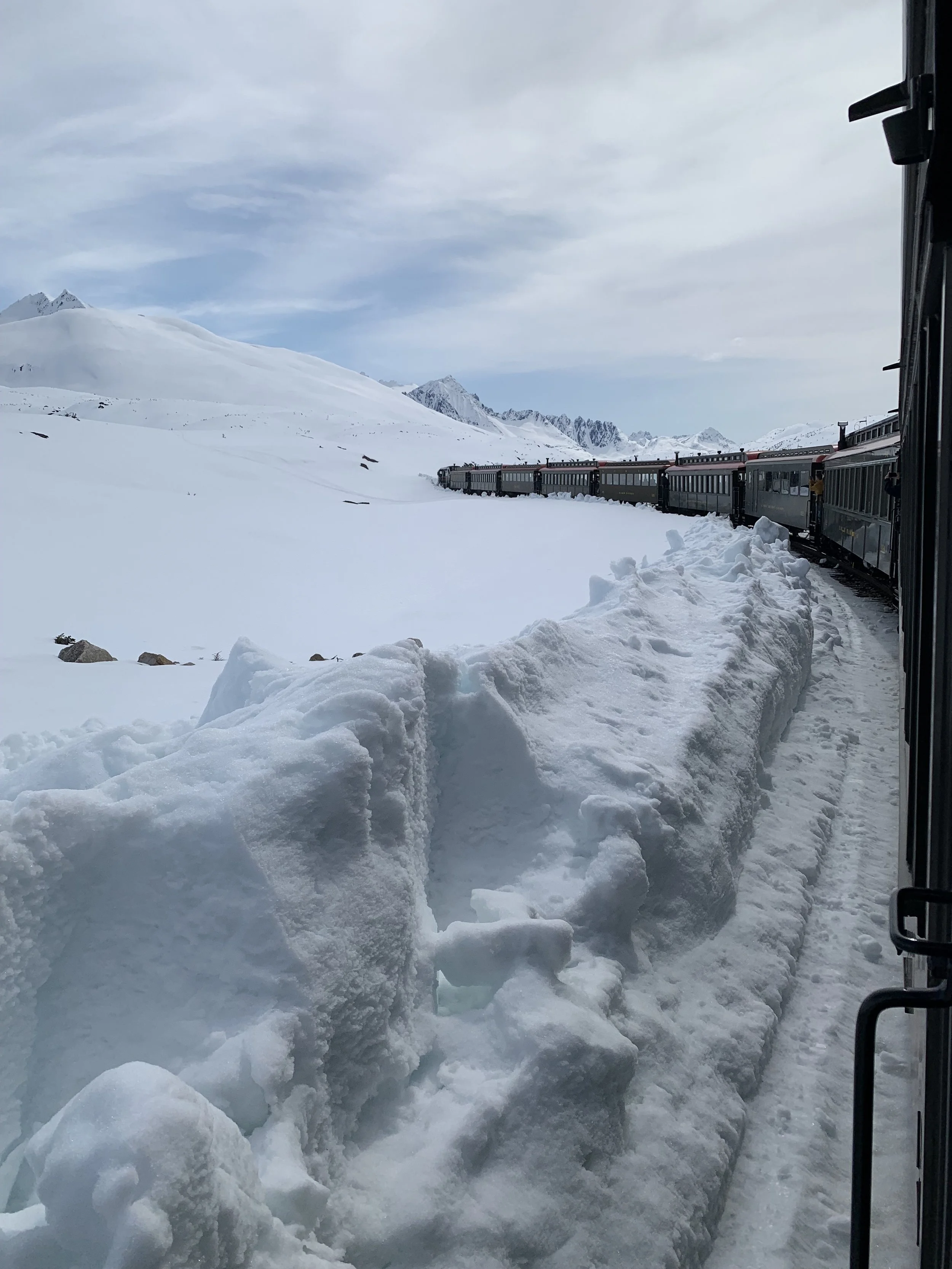
Skayway means “place where the north wind blows. Population 1,191 as of 2020. Skagway was founded in 1897 during the gold-rush era. They didn’t find any gold, but the city and its buildings left behind became a popular destination for cruise ships sailing the Inside Passage. The vintage locomotives operated by White Pass offer breathtaking mountain rides past the famously steep Chilkoot trail and offers sweeping mountain views during its climb toward Canada. And no, our train did not go into Canada.
The train ride is $149USD/PP from the boat excursions, but you can easily save $20 if you purchase from an external source.
Fun fact: You cannot drive to Alaska from the US.


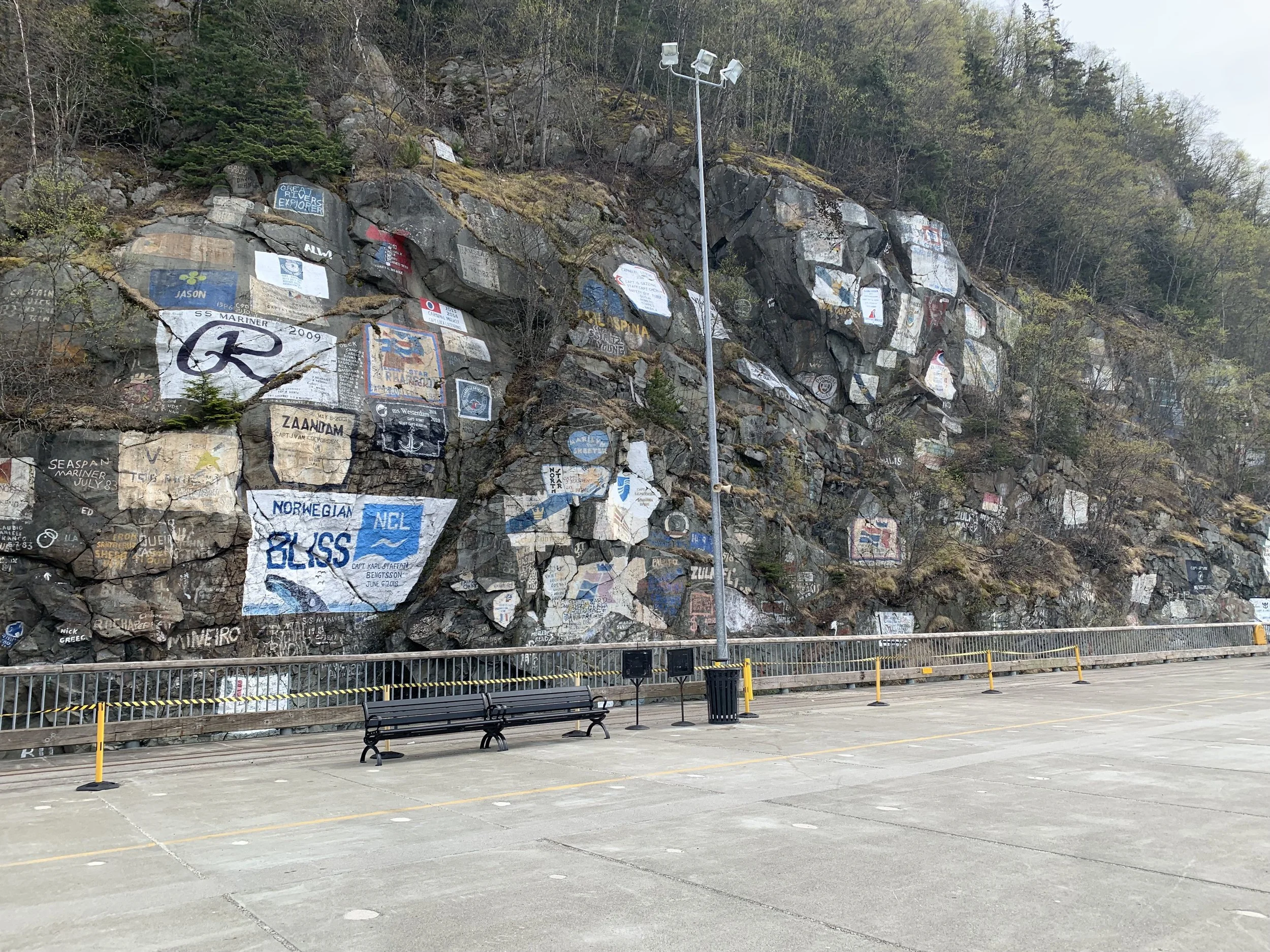
This is the famous graffiti wall at the Skagway cruise ship dock. It is said that ship sailors started this tradition long ago where they would paint their ship's logo as soon as they step off the ship to commemorate their first trip to Skagway.
White Pass and Yukon Route
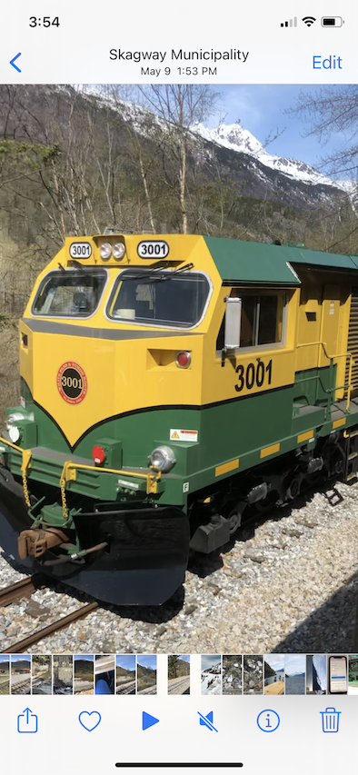
The White Pass and Yukon Route is a Canadian and U.S. Class III 3 ft narrow-gauge railroad linking the port of Skagway, Alaska, with Whitehorse, the capital of Yukon. An isolated system, it has no direct connection to any other railroad. Equipment, freight and passengers are ferried by ship through the Port of Skagway, and via road through a few of the stops along its route. The railroad began construction in 1898 during the Klondike Gold Rush as a means of reaching the goldfields. With its completion in 1900, it became the primary route to the interior of the Yukon, supplanting the Chilkoot Trail and other routes. We saw engine 3001 passing us in the opposite direction.


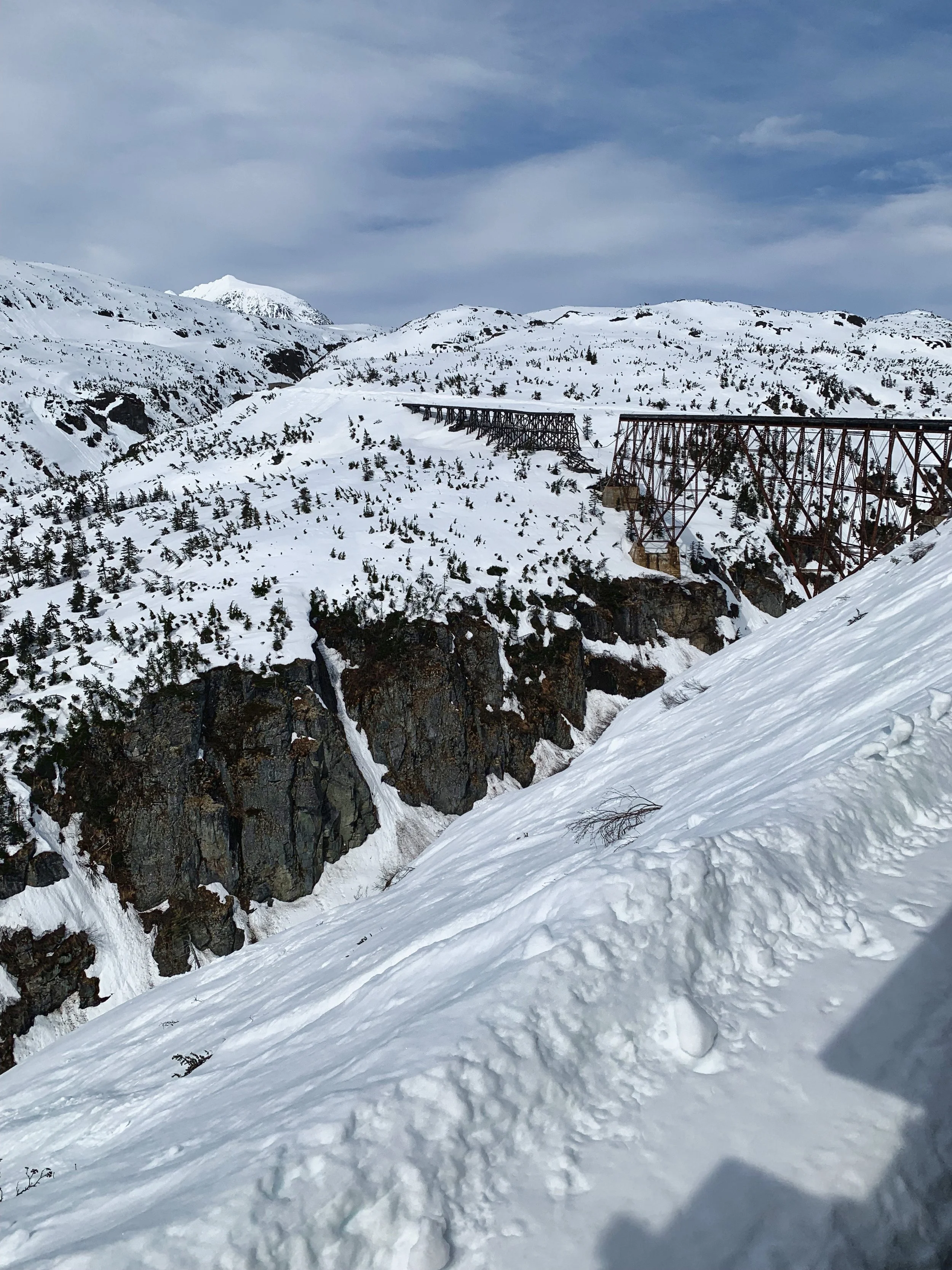
This old steel bridge was built in 1900; bypassed and abandoned in 1969. In the next picture you will see the location of this old and the "new" bridge that replaced it. Click on this picture if you are interested to read an engineering article published in 1901 on the design and building of this bridge. If the PDF does not open properly, download the entire book and then scroll to pages 217 to 219.

Does this picture give you the wrong impression that we were about to cross a broken bridge?


The structure at the bottom is the old bridge and the one above it is the new one.

This is how far the bridge is to the Canada/US border. We did ride into Canada but did not disembark. Just imagine the number of passengers they need to verify ArrivCan, it would take them hours and we would miss our boat.

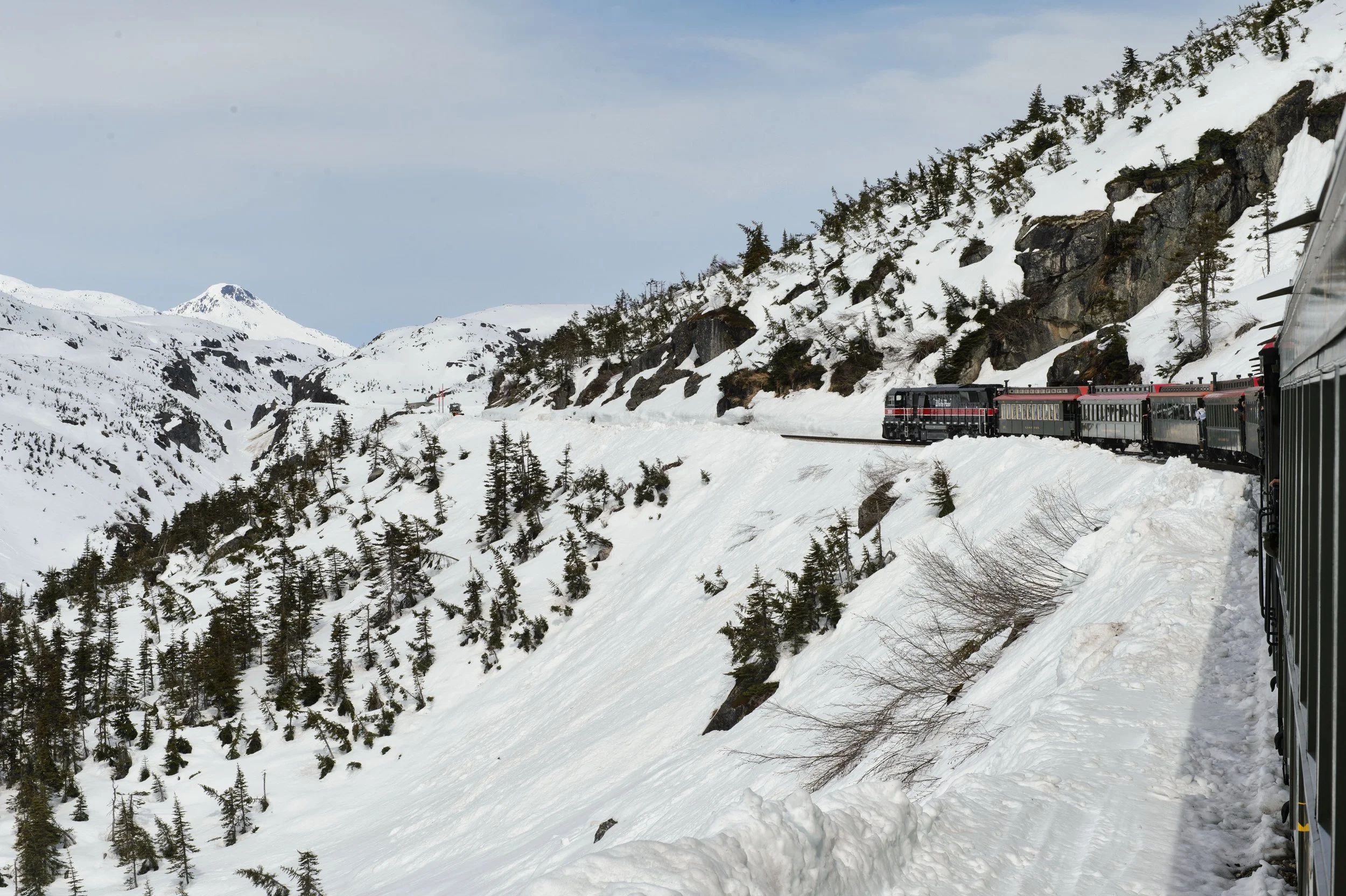
We continued up north to Fraser (see map) before the train would turn around by going on a loop. The Fraser Border crossing is not far from the loop. Other tours on buses did allow the passengers to get off to take a picture.

This is the balloon loop that our train took so to turnaround and head in the other direction. The Fraser border crossing is just a bit north from that.

Without realizing it, the train ride from Skagway to Fraser Border crossing in British Columbia was half in the US and half in Canada.


The balloon loop near Fraser Border Crossing