Mount St. Helens
Mount St. Helens is an active stratovolcano located in the state of Washington in the Pacific Northwest region of the United States. It lies 52 miles (83 km) northeast of Portland, Oregon and 98 miles (158 km) south of Seattle. The last major eruption was on May 18, 1980 and it remains the deadliest and most economically destructive volcanic event in U.S. history. Fifty-seven people were killed; 200 homes, 47 bridges, 15 miles (24 km) of railways, and 185 miles (298 km) of highway were destroyed.
Mount St. Helens
〰️
Mount St. Helens 〰️


Viewpoints around St. Helens
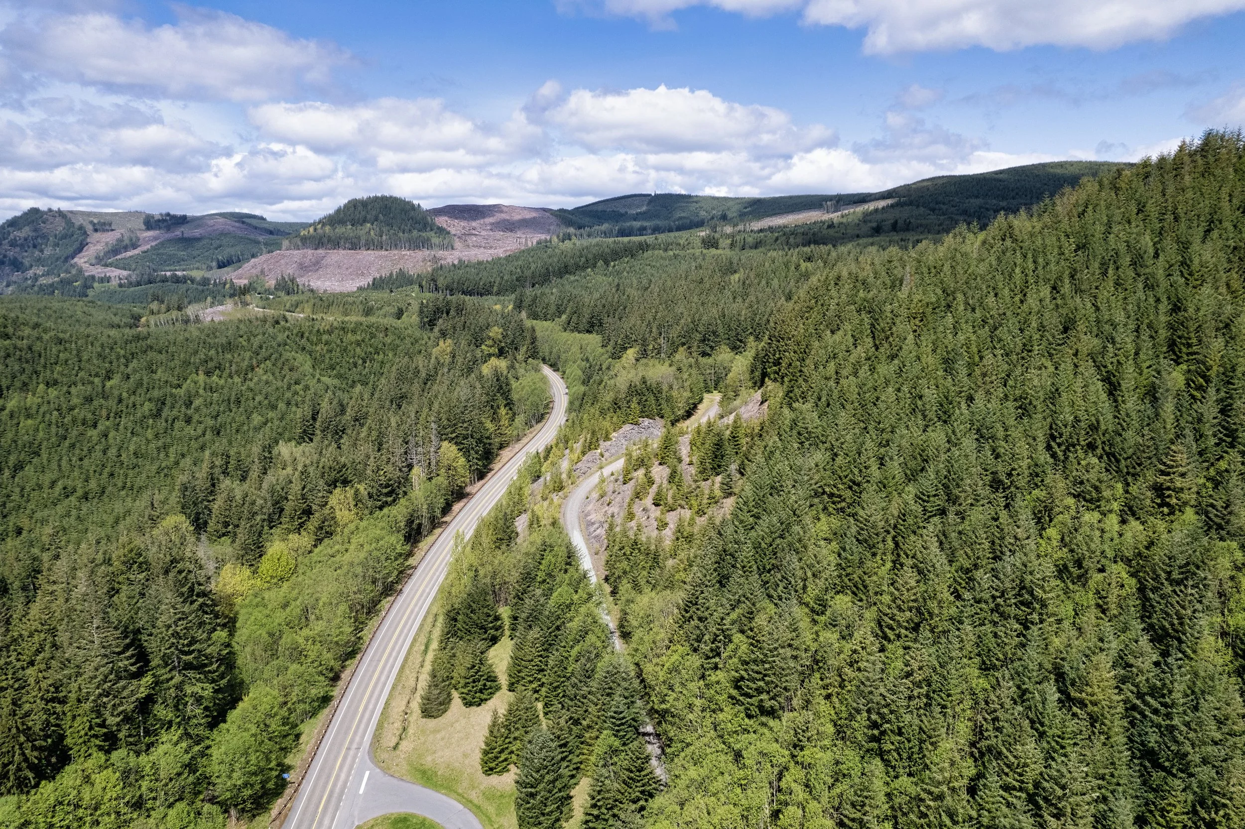
We left the I-5 onto HWY 504 (the Spirit Lake HWY) towards Mount St. Helens. At first we were not sure if the road would be open as a phone call to the observatory confirmed in a message recording that the observatory would not open for another 3 weeks. We took a chance anyway, and was expecting some form of road closure along the way, but we got a pleasant surprise indeed. We did not anticipate the scenery would be so amazingly magnificent.
It was a beautiful morning, the sun was out, zero sign of rain. The road was normal, until we came a sign that says Bridge View Point. Of course we turned for a look. And what a view that was. We found ourselves standing in front of the Hoffstadt Creek Bridge, looking over the Hoffstadt Creek below. This bridge reminded us of the wood bridges up in the mountains back in Skagway, Alaska.

Hoffstadt Bridge over Hoffstadt Creek is the longest (2340 ft) and tallest (370 ft) of fourteen bridges on the Spirit Lake Memorial Highway ( Hwy 504) at Mount St. Helens. Opened in 1991, the new highway was built to replace the original highway that was destroyed by the eruption of Mount Saint Helens in 1980. Note the two cars crossing the bridge for scale.

Here is a another view from high above to truly appreciate the length of the bridge. Notice the car in the middle, that's my car with my wife driving very slowly across.


Mt St Helens Forest Learning Center

At the learning centre, my wife looked up in the sky and saw this halo. This is known as a parhelia, its formed when there is high moisture high up in the sky, and the sunlight refracted off the tiny hexagonal ice crystals at a 22 degrees from the sun, making the halo look like a very pale rainbow.

Getting closer now.


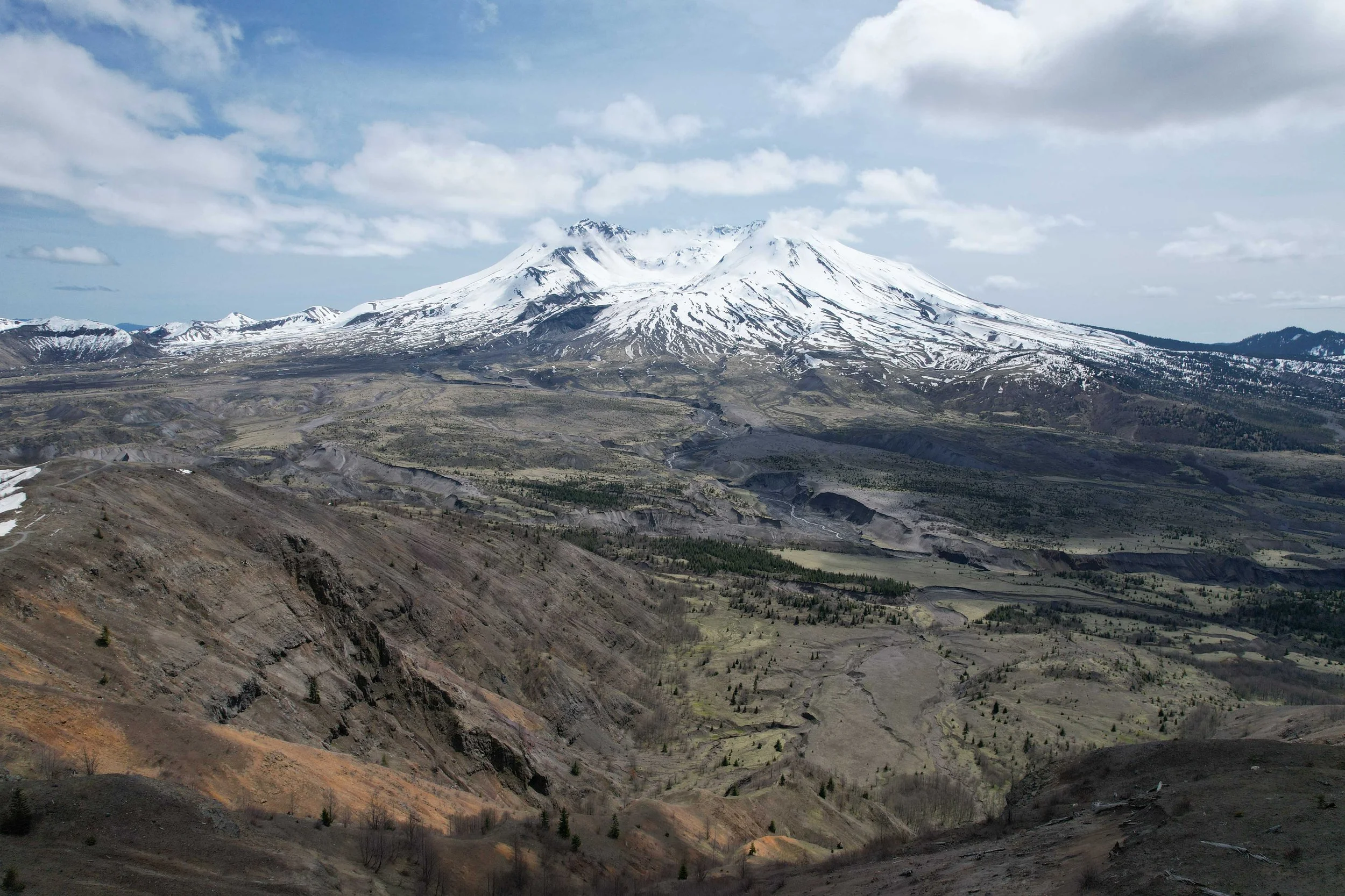
This view was taken from the Loowit Viewpoint. The observatory is just down the road from where we are. Notice the bare tree trunks, they are the remains from the burning Magma more than 40 years ago, on May 18, 1980 at 8:32 a.m. Twenty-three square miles of the mountain blasted sideways at 650 m.p.h. The temperature reached 660 degrees Fahrenheit. Any living trees you see in the pictures are planted by hand after the blast, 18 million seeding in all.

After a two hours drive off the I-5, 52 miles east of Castle Rock, we arrived at the Johnston Ridge Observatory. It was closed, but it was good for us as there were fewer people on the ground. Besides, the best view was already right in front of us.

A short hike to the Johnston Ridge brought us to this view of Mount St. Helens. You are standing on a bluff just 5-1/2 miles off at roughly 4314 feet elevation looking right at the crater rim at 8,365 feet elevation where the blast happened 40 years ago. Here you can enjoy spectacular views of the lava dome, crater, pumice plain and the landslide deposit.

To the left on the picture you can see a tiny bit of Spirit Lake. The eruption tore thousands of pyrolized trees from the surrounding hillsides and swept them into Spirit Lake. These thousands of shattered trees formed a floating log raft on the lake surface that covered about 40% of the lake's surface after the eruption. The logs are still floating on the lake to this day.
